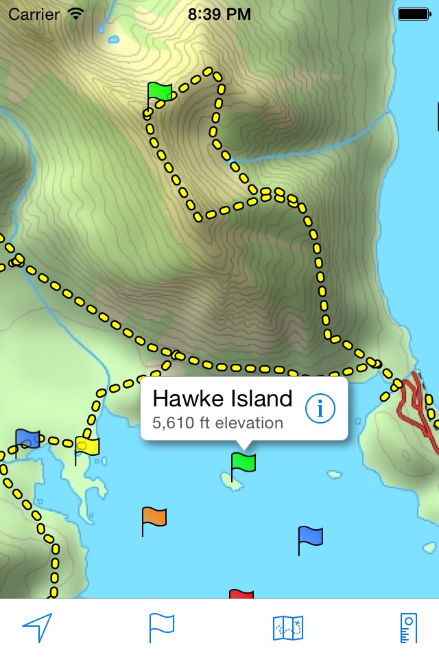

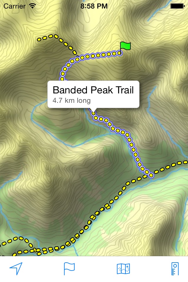

A topographical map of Kananaskis Country, Alberta, Canada.
The trails on the map include Burstall Pass, Chester Lake, Rawson Lake, Elbow Lake, Ptarmigan Cirque, Nihahi, Moose Mountain, and Ribbon Falls.
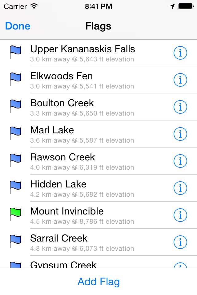
- Search or browse the names of trails, mountains, lakes, rivers, creeks, and backcountry campgrounds.
- Track your current location and elevation with GPS (on devices with a GPS receiver).
- Add flags (waypoints) to mark locations, including your current location and elevation.
- Share flags with others using email or message.
- Measure distance by sliding finger across the map.
- Use the map with no Internet connection. The entire map is stored on your device.
Note: This is an unofficial map and is not endorsed by the Government of Alberta.